


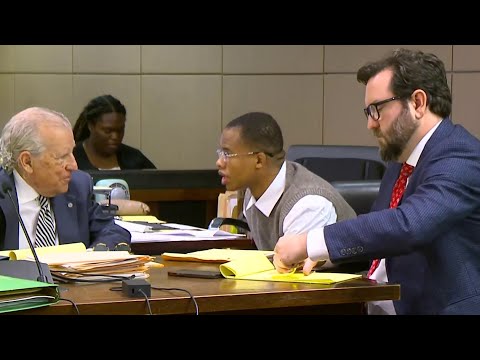
(The Center Square) – A historic trial that could compel oil and gas companies to pay billions for Louisiana’s coastal wetlands restoration reached its climax this week, with closing arguments delivered Thursday at the Louisiana 25th Judicial District Court in lower Plaquemines Parish.
The lawsuit, pitting the parish against companies including Chevron USA, Inc., is the first of 42 similar cases filed since 2013 to reach trial, accusing the industry of violating state permitting laws and exacerbating wetlands loss.
Chevron, The Texas Company, Atlantic Richfield Company, ConocoPhillips, and The Louisiana Land and Exploration Company all filed a motion in opposition in 2022 to keep the case in federal court.
After over a decade of legal battles, Plaquemines Parish, led by attorney John Carmouche, is seeking nearly $3 billion in damages. A victory could set a precedent, potentially forcing oil companies to pay tens of billions across all cases — funds legally mandated for coastal restoration.
The litigation has weathered three attempts by the companies to shift it to federal court, a venue they viewed as advantageous, with the U.S. 5th Circuit Court of Appeals last affirming its return to state court in October of 2022.
“If somebody causes harm, fix it,” Carmouche said in his opening statement.
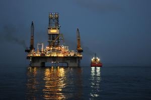
The parish alleges decades of unregulated oilfield activity, including canal dredging, devastated its coastline.
Chevron says it’s being sued for Texaco’s pre-2001 oil and gas work under a 1980 law not meant to cover earlier activities. It also claims the case belongs in federal court since some work tied to World War II was under federal guidance. Chevron acquired Texaco in 2001.
As the jury prepares to deliberate, the outcome could mark a turning point, potentially delivering unprecedented industry accountability for Louisiana’s fading coast—or a major setback for restoration efforts.