lailluminator.com – Piper Hutchinson – 2025-04-18 15:41:00
by Piper Hutchinson, Louisiana Illuminator
April 18, 2025
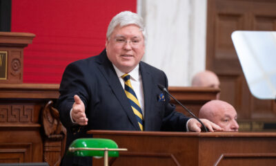
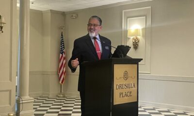
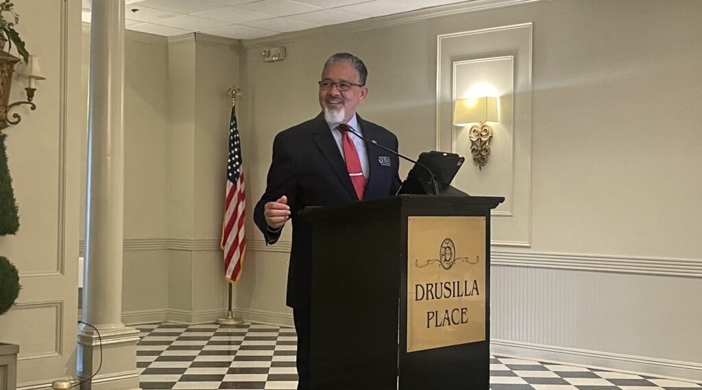
This is an interview with University of Louisiana System President Rick Gallot that took place earlier this month about how the legislative session and federal changes will impact higher education in Louisiana. It has been edited for length and clarity.
You can also listen to a version of this interview on our new podcast The Light Switch.
Piper Hutchinson: What do you think is coming for higher education this session?
Rick Gallot: I think certainly starting with a standstill budget is always better than starting with a proposed cut. So, you know, we’re certainly very grateful for that. I think there’s a lot of uncertainty, coming out of Washington and with the constitutional amendments that did not pass, obviously that has created some angst in terms of what do we do now, right? And so I think there is, again, just an overall level of uncertainty that we’ll see it … kind of play out over time.
I think if you look at the increased revenue from the sales, sales taxes and other things, we’re certainly not in a real bad spot right now as a state in terms of our finances. So I’m still optimistic that we will work through the challenges in the session, and we will come out good on the other side.
Hutchinson: Looking at the bills that we have so far, what do you think is going to be the most impactful for higher education?
Gallot: It’s hard to say, and when you look at what’s filed versus what ultimately makes it through the process; all bills filed on the front end don’t always make it. Rep. (Emily) Chenevert has come back with another diversity, equity and inclusion bill. We will certainly have to see how that plays out. The bill she had last year started one way and ended up another. … Certainly with all other higher ed leaders, she was very receptive to meeting with us and working through some of those challenges last year. At the end of the day, I think the budget is always going to be the main focus that could impact the trajectory going forward.
Hutchinson: There’s one bill that’s going to have a big impact for your system, talking about transferring UNO back to the LSU System. What should we expect on that front?
Gallot: For me personally, it’s a full-circle moment. I was in the house when UNO was transferred from LSU to the University of Louisiana System. You know, I just want what’s best for the students, for the campus community at the University of New Orleans. It is a legislative prerogative. They have the authority to transfer universities from one system to the other. So if this legislation is successful, we will certainly do our part to ensure that it is a seamless transition. We will work with LSU, with Board of Regents and with the legislature to ensure that the transition is as smooth as it could possibly be.
Hutchinson: What’s that like for you [as a former legislator] during the legislative session, being kind of outside the rails?
Gallot: Well, I certainly have a lot of respect for our legislators and the sacrifices they all make in serving. I’m a huge fan of Stephen Covey’s “Seven Habits,” and one of those is: “Seek, first to understand then to be understood.” And so I think that’s helpful to understand the pressures that our legislators are under, knowing that there’s a lot that they have to balance. I think it’s helpful, quite frankly. And I don’t think I burned any bridges while here.
I mean, I did oversee redistricting, so maybe I did [burn] one or two. But for the most part, I still have good relationships with many of my former colleagues … who are still there. I’m grateful to have the opportunity to be a part of the process but from this side.
Hutchinson: There has been a little bit of controversy in the LSU System lately, that’s reignited these conversations about curbing tenure. What are you hearing on that front, and what would that mean for higher education as a whole if they did take an axe to tenure?
Gallot: Going back to COVID, and you think about faculty members, who go through the process of, not only a bachelor’s and a master’s and a terminal degree. You know, they get hired, they’re on a tenure track, they’re researching, they’re writing, they’re building their portfolio, and at the appropriate time they apply for tenure. I think we have to respect that process.
I think it is one that is deeply rooted in higher education, and so I think we certainly have to respect faculty and that they have earned this.
Now, having said that, it’s always one or two bad apples that will spoil the barrel, as they say. I don’t know that simply doing away with tenure is the answer.
If the legislature passes something, then we, as a state system, will certainly abide by whatever changes may be made. I think we want accountability at all levels, that we want our students to be in the best position to learn. We want our faculty to be in the best position to teach, and that our students would graduate and go out and make a difference in society. So we’ll certainly be watching it closely, and hopefully we will see thoughtful debate throughout the process. And again, with whatever the ultimate result is, we will work with it.
Hutchinson: I can’t not talk about what’s going on at the federal level. We’re talking about cutting research funding. There are concerns about immigration and graduate students, and certainly tariffs could increase expenses for higher education. How is the UL System adapting to all of this?
Gallot: Right now there’s so much uncertainty just across the board. Whether it’s the potential loss of research funding and indirect cost, for instance, universities build their budgets based upon what they believe the revenue stream will be from these research grants. I’m hopeful that we will sort of get through this period of uncertainty, and we will see things sort of settle down to be a little more predictable. But you know, at the same time, we will have to adjust if the rules are changed. If the funding formulas are changed, we will just have to adapt. We always have and we always will.
GET THE MORNING HEADLINES.
SUBSCRIBE
YOU MAKE OUR WORK POSSIBLE.
SUPPORT
Louisiana Illuminator is part of States Newsroom, a nonprofit news network supported by grants and a coalition of donors as a 501c(3) public charity. Louisiana Illuminator maintains editorial independence. Contact Editor Greg LaRose for questions: info@lailluminator.com.
The post Q&A with University of Louisiana System President Rick Gallot on higher education appeared first on lailluminator.com